Distance to Grasmere: 9 miles.
Max. elevation: Robin Lane siting pillar, 831 feet.
GPX route and PDF maps: Downloads


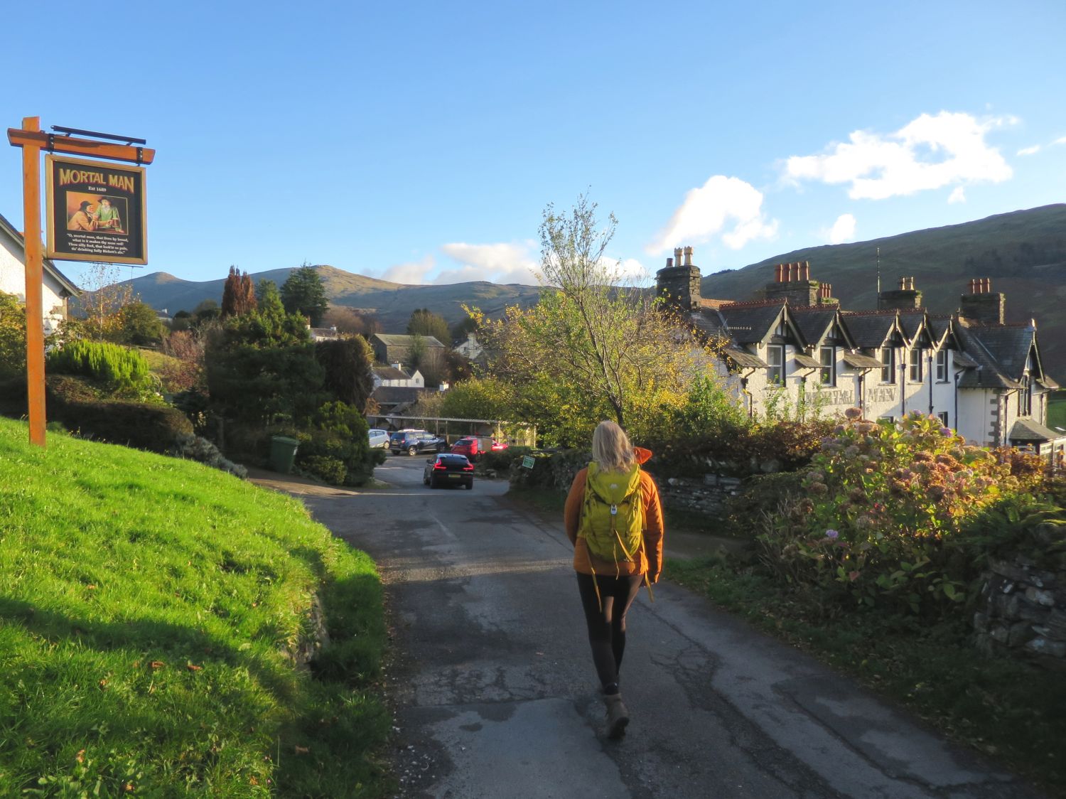
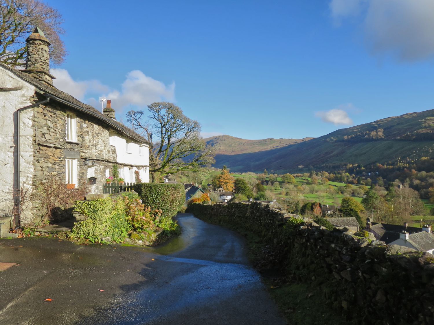
 Approaching the Mortal Man at Troutbeck
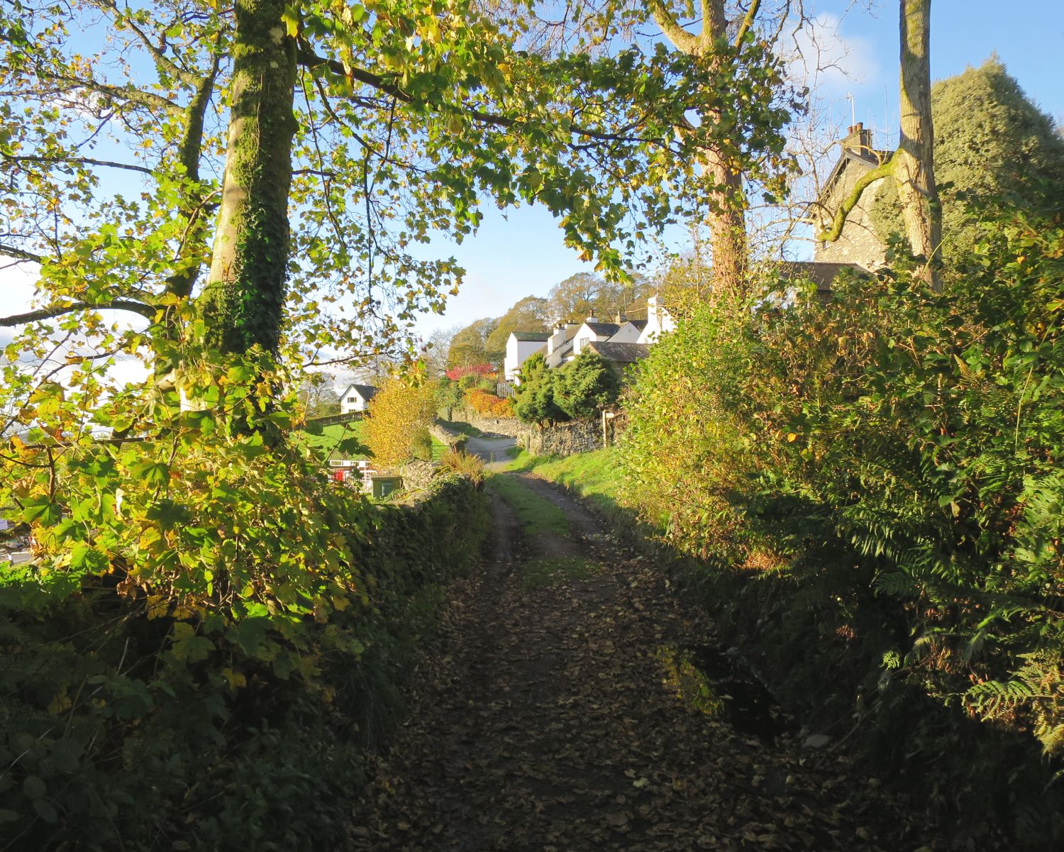
 Walking along Low Gate
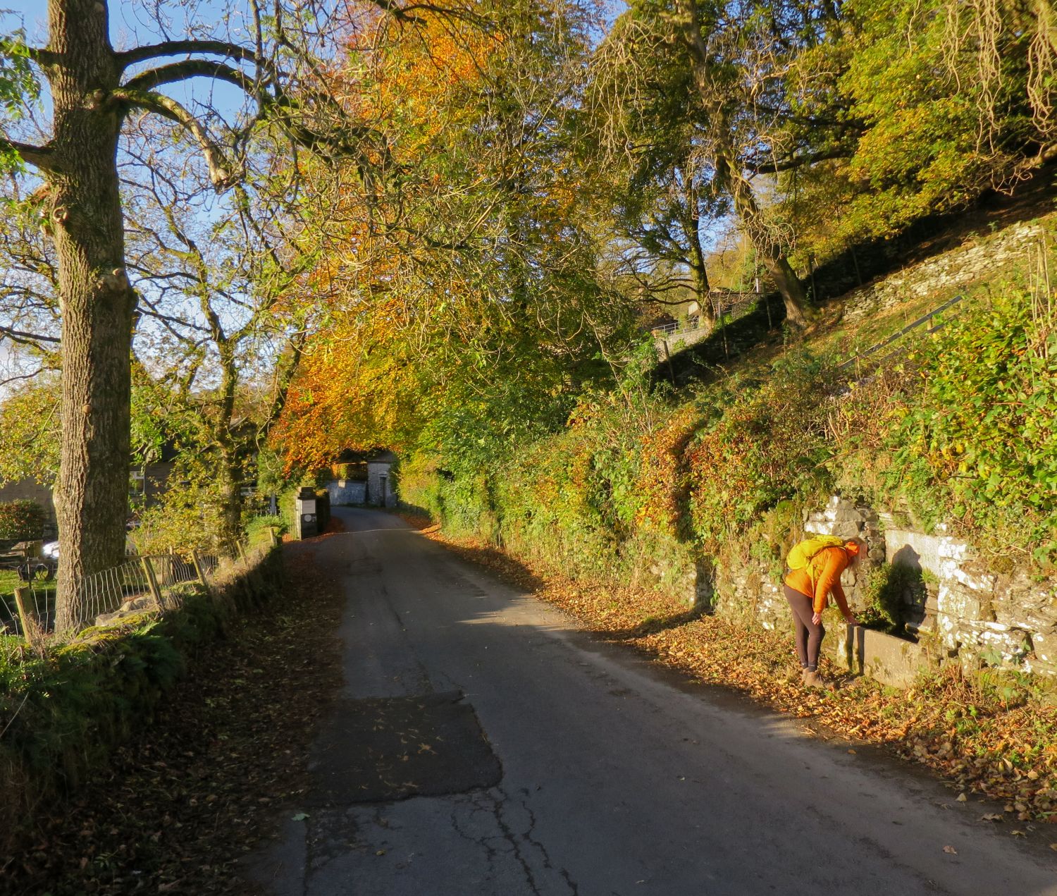
 Inspecting St John’s Well
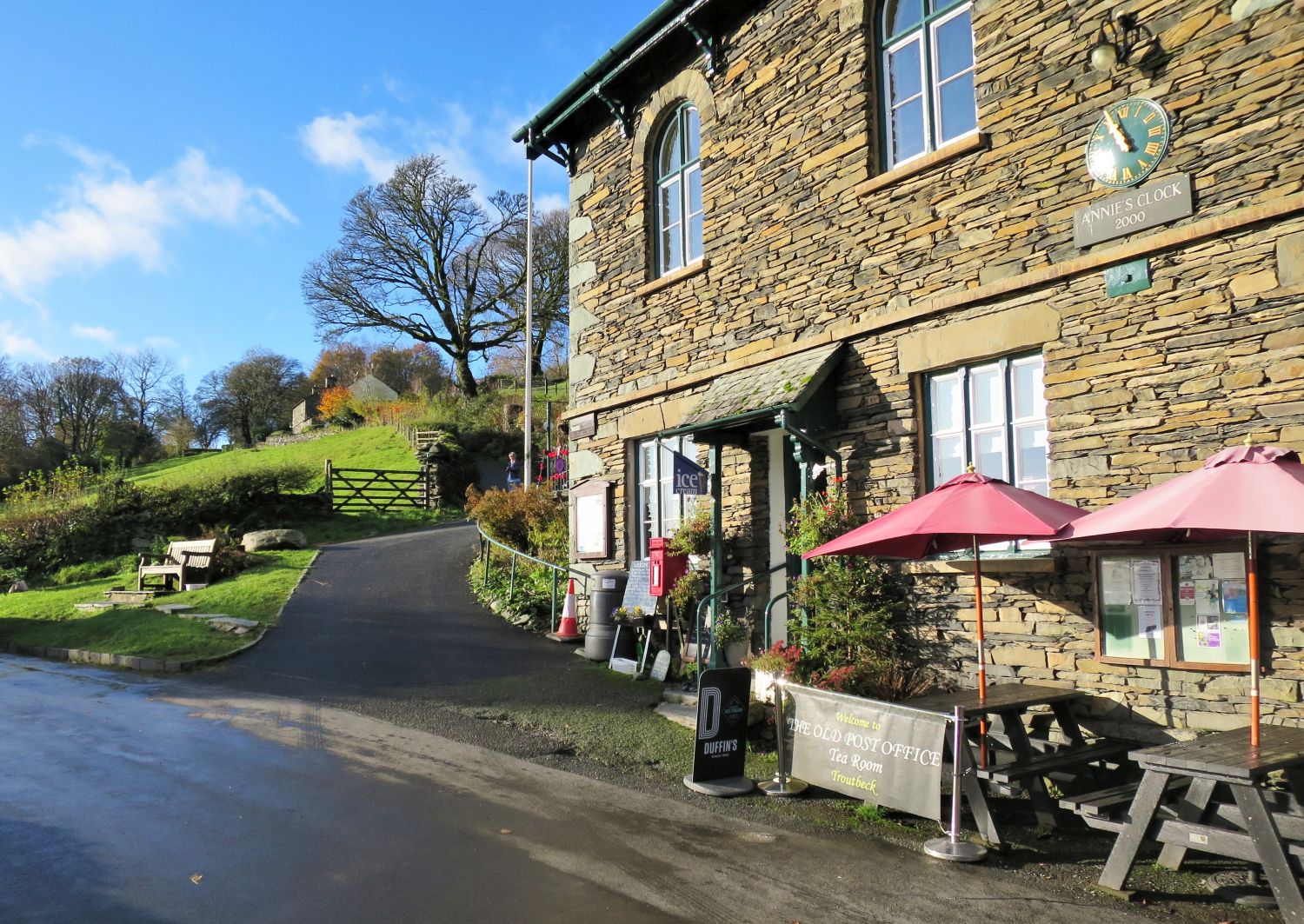
 The Old Post Office Tea Room at Troutbeck
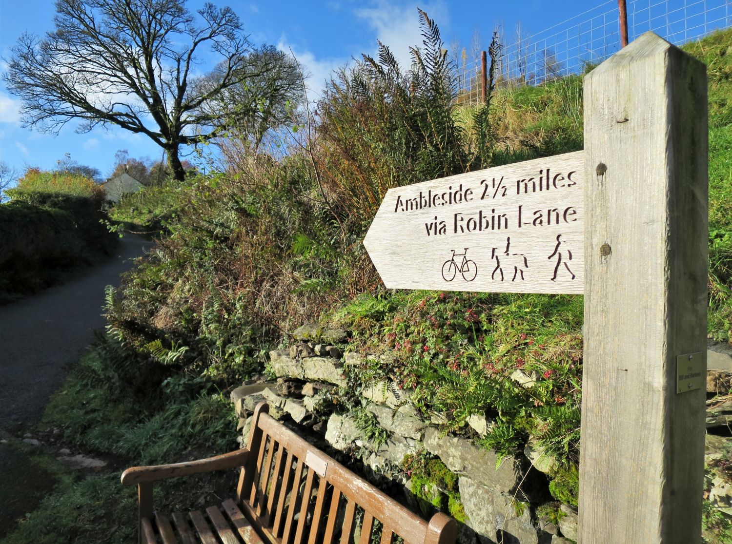
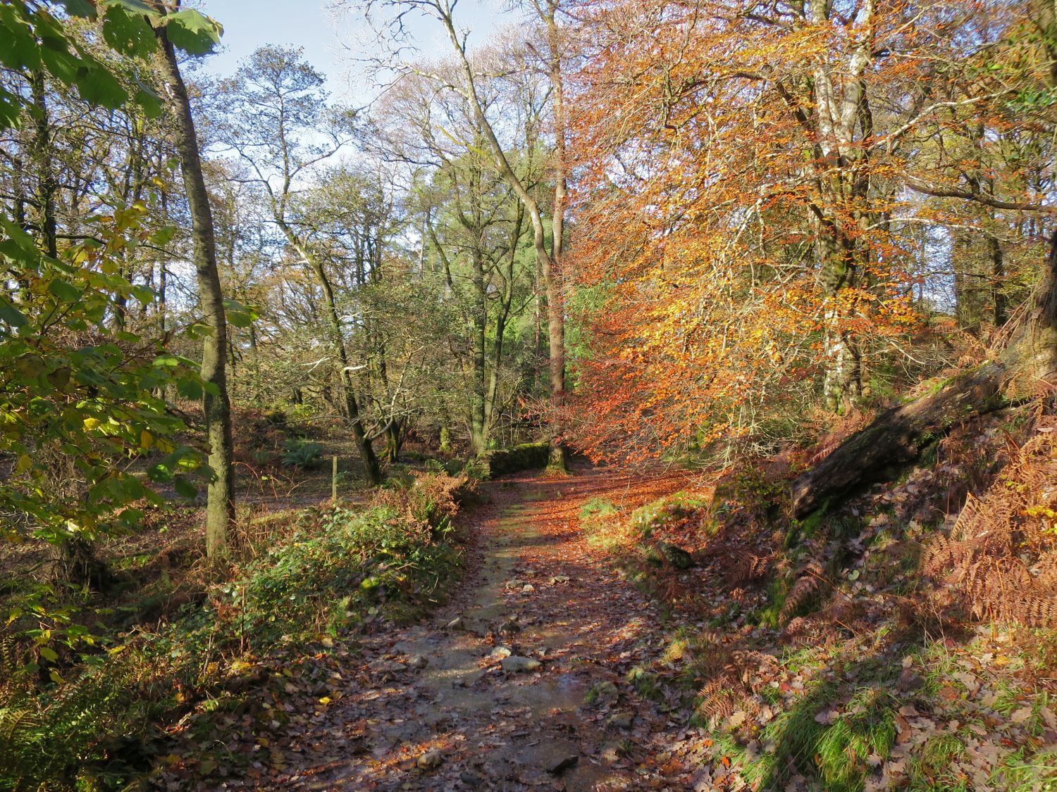
 The start of Robin Lane
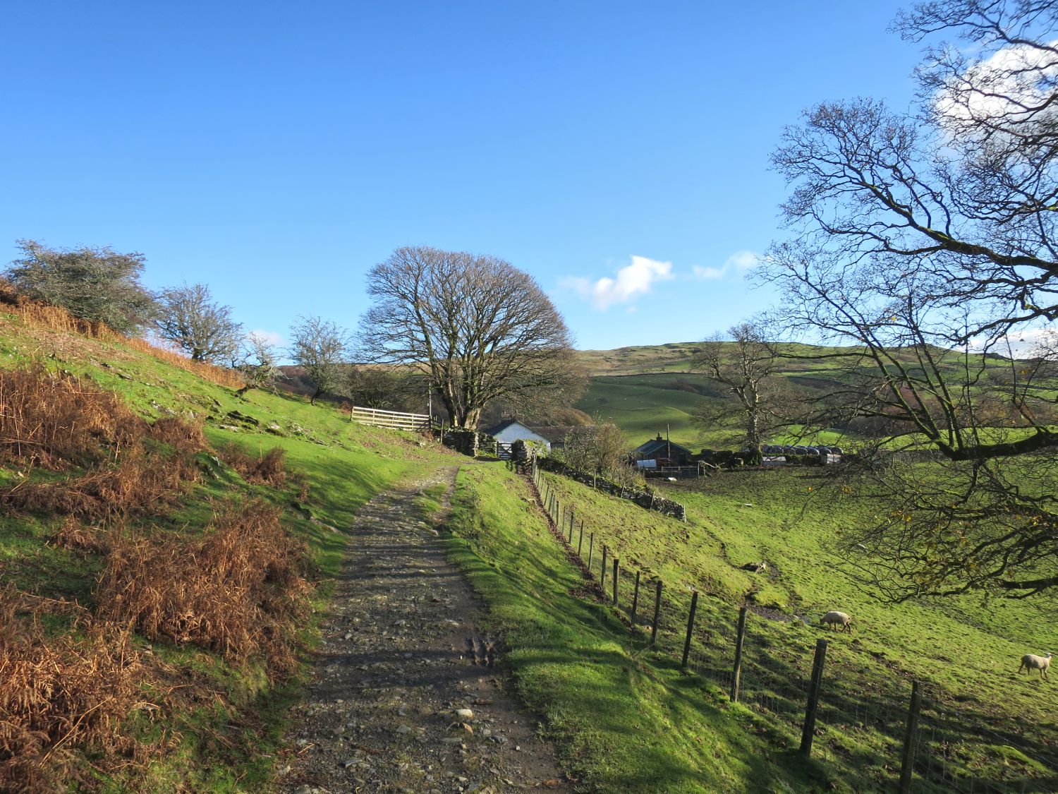
 A look back over the valley of Troutbeck
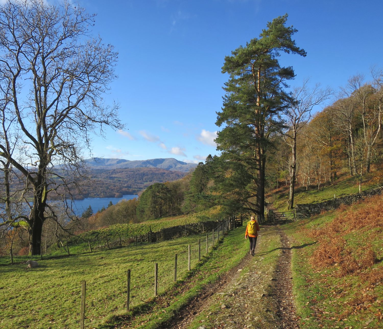
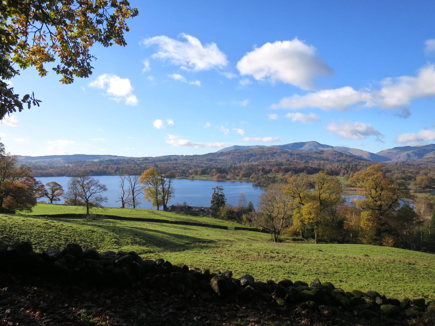
A view of Windermere from Robin Lane  A siting pillar seen from Robin Lane
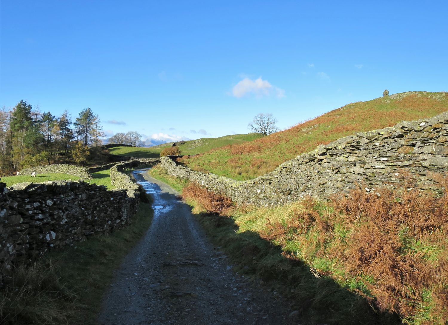
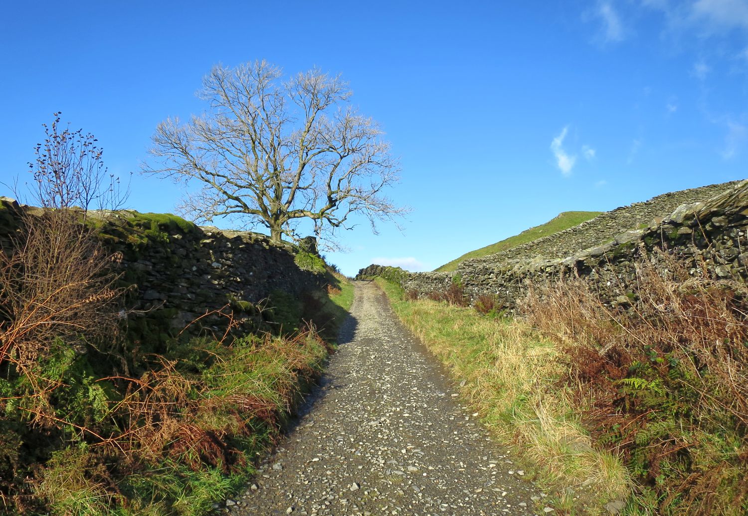
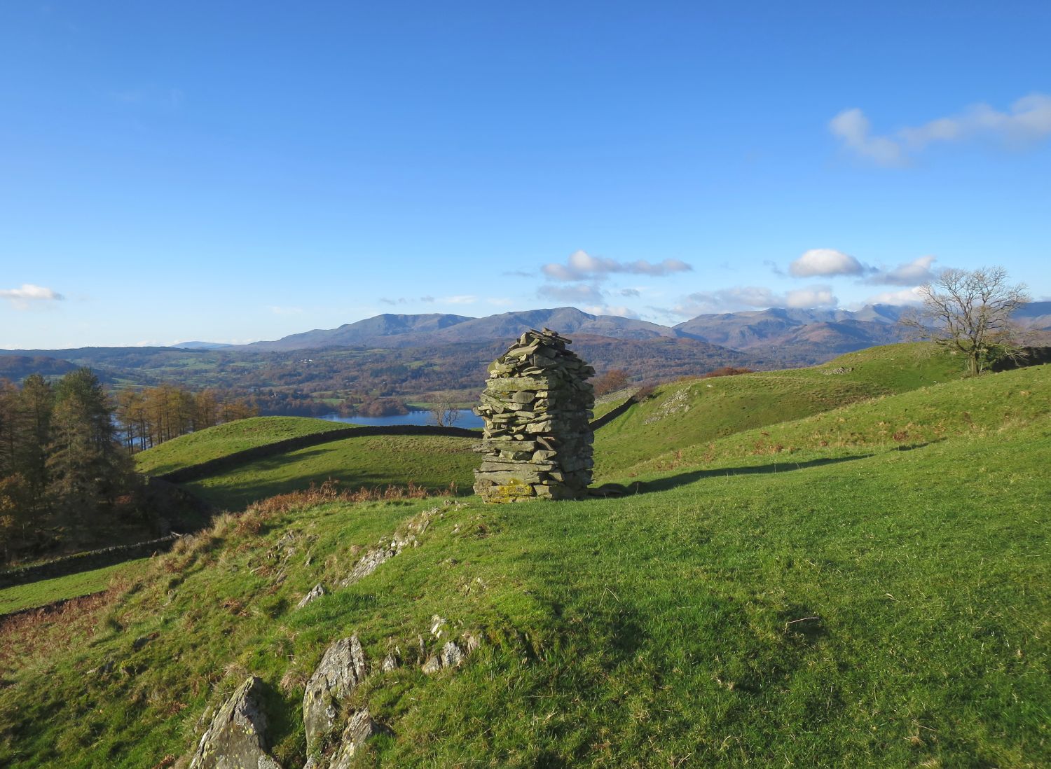
 Approaching the highest point of Robin Lane
 A close-up of the Thirlmere aqueduct siting pillar
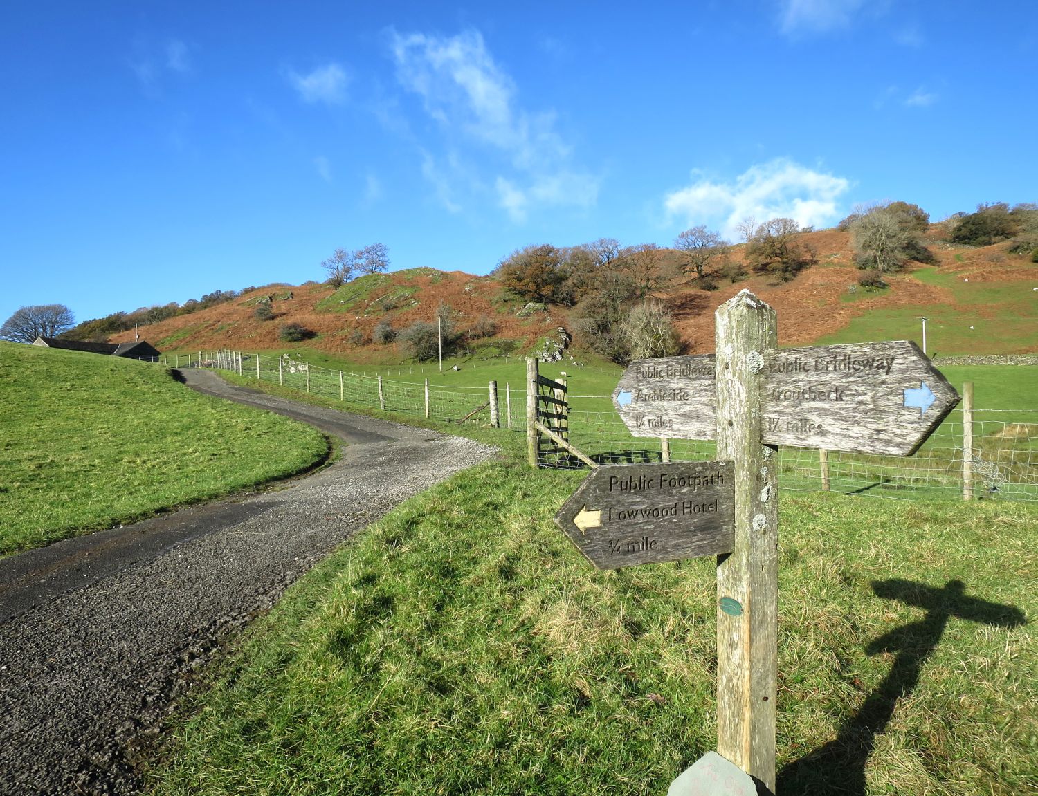
(Highest point on Day 8)High Skelghyll Farm ahead on Skelghyll Lane  The junction with the track to Low Wood Hotel
A look back to High Skelghyll Farm  Approaching Skelghyll Wood
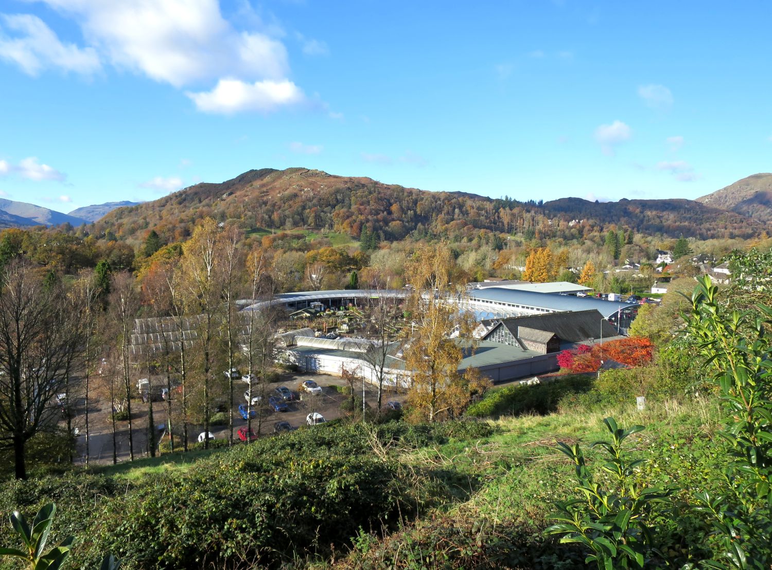
Walking through Skelghyll Wood A view of Windermere from Skelghyll Lane  Loughrigg Fell and Hayes Garden World
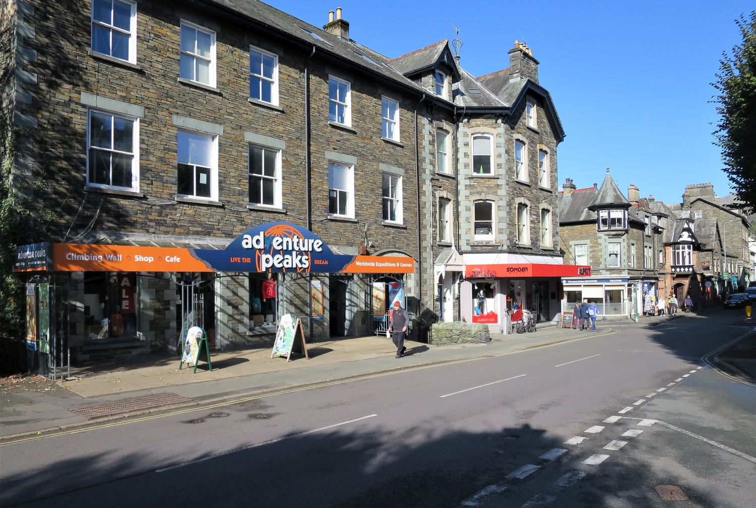
 Arriving at Lake Road in Ambleside
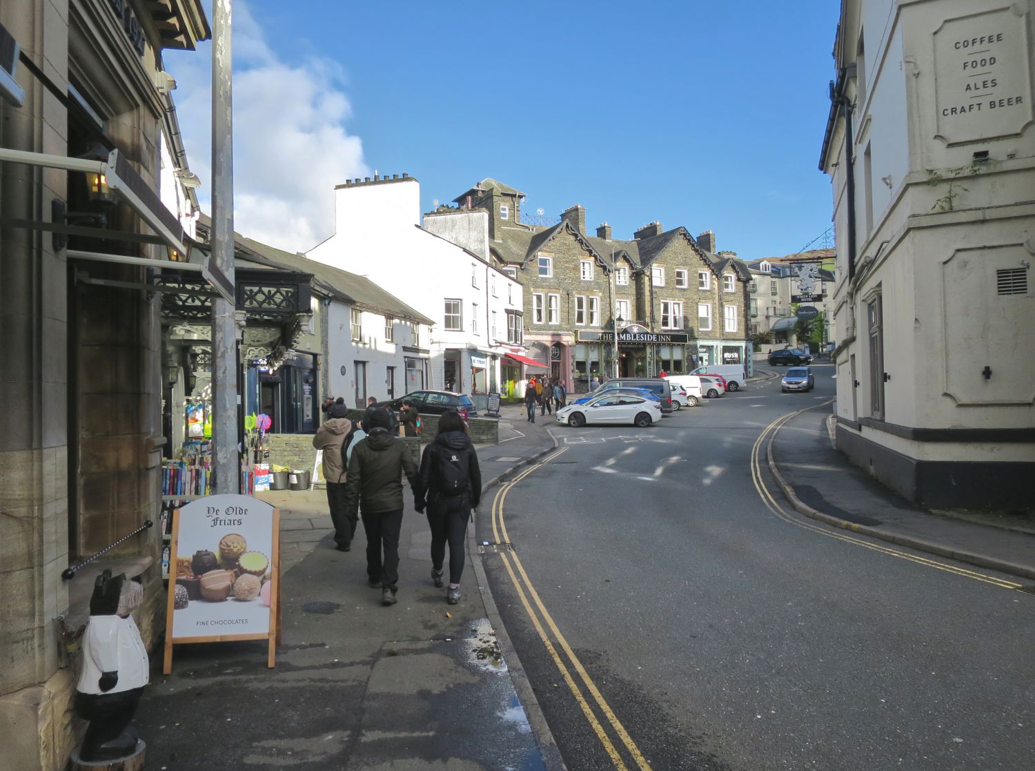
 Approaching Market Hill in Ambleside
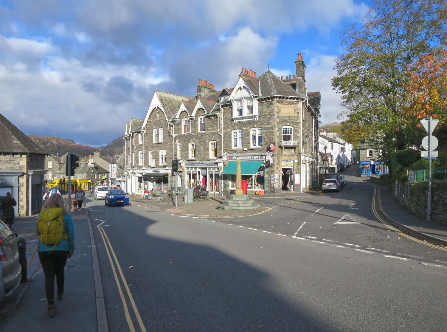
 The Ambleside Market Cross on Market Hill
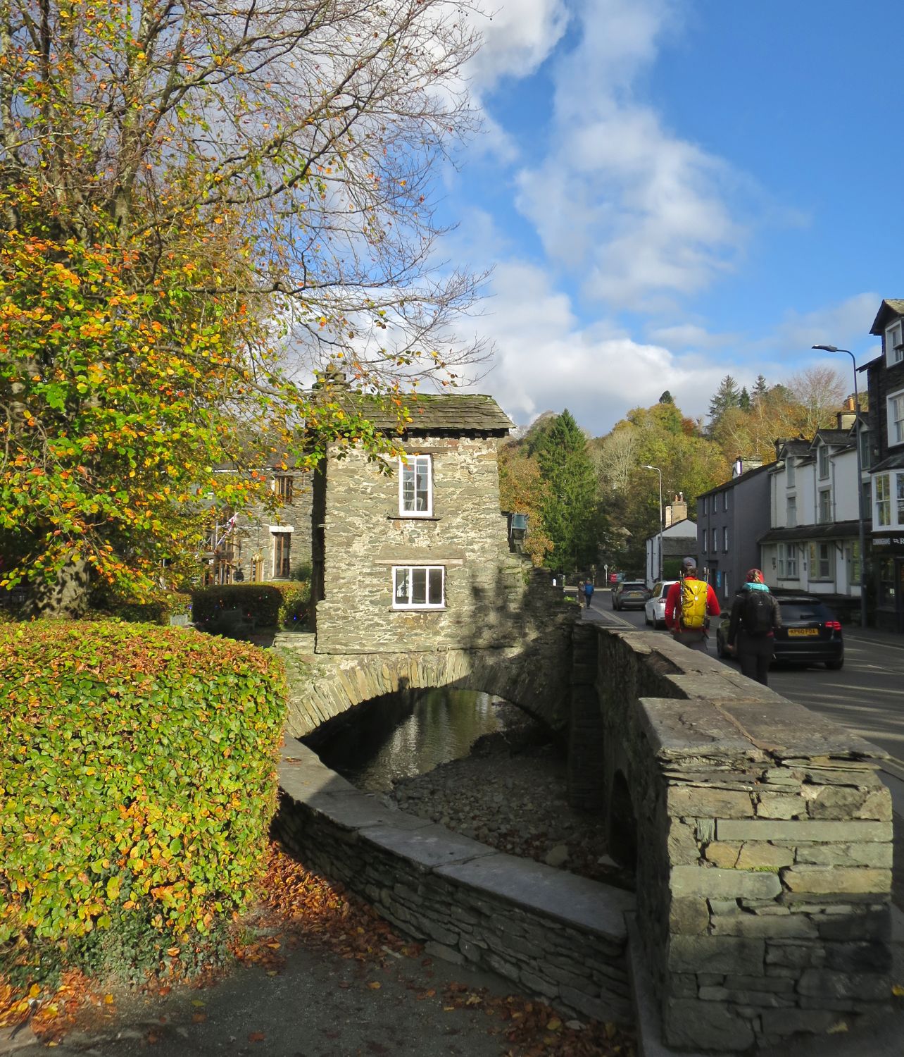
 Bridge House spanning Stock Beck
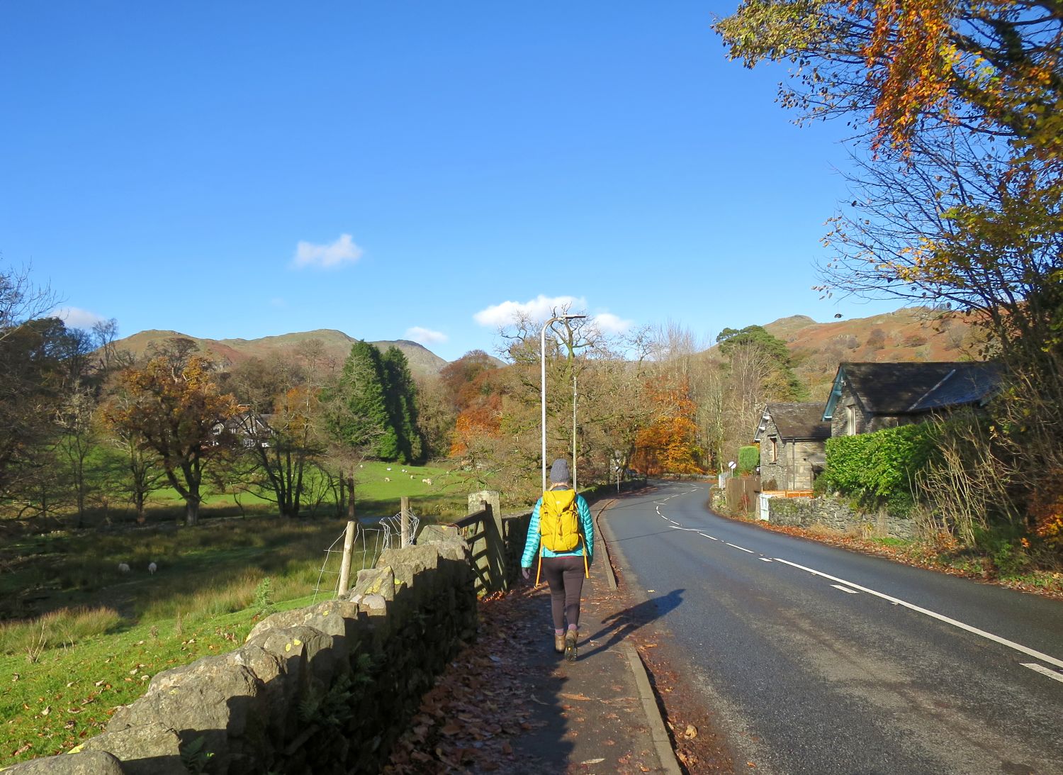
 Leaving Ambleside for Rydal Park
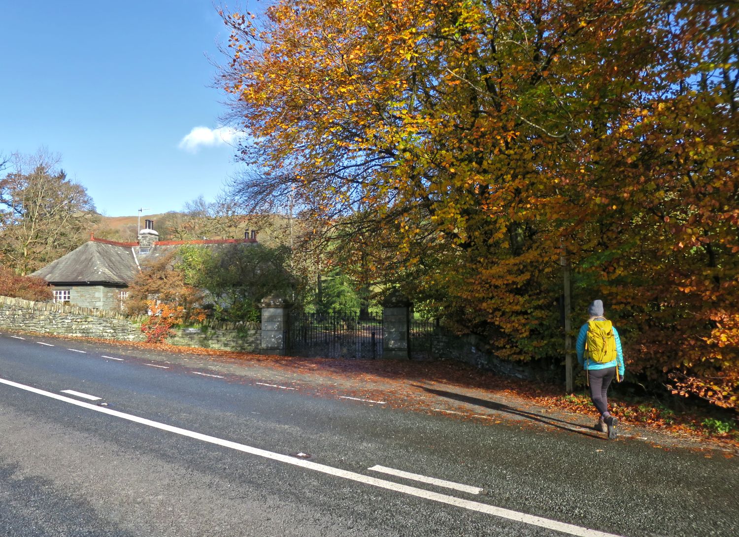
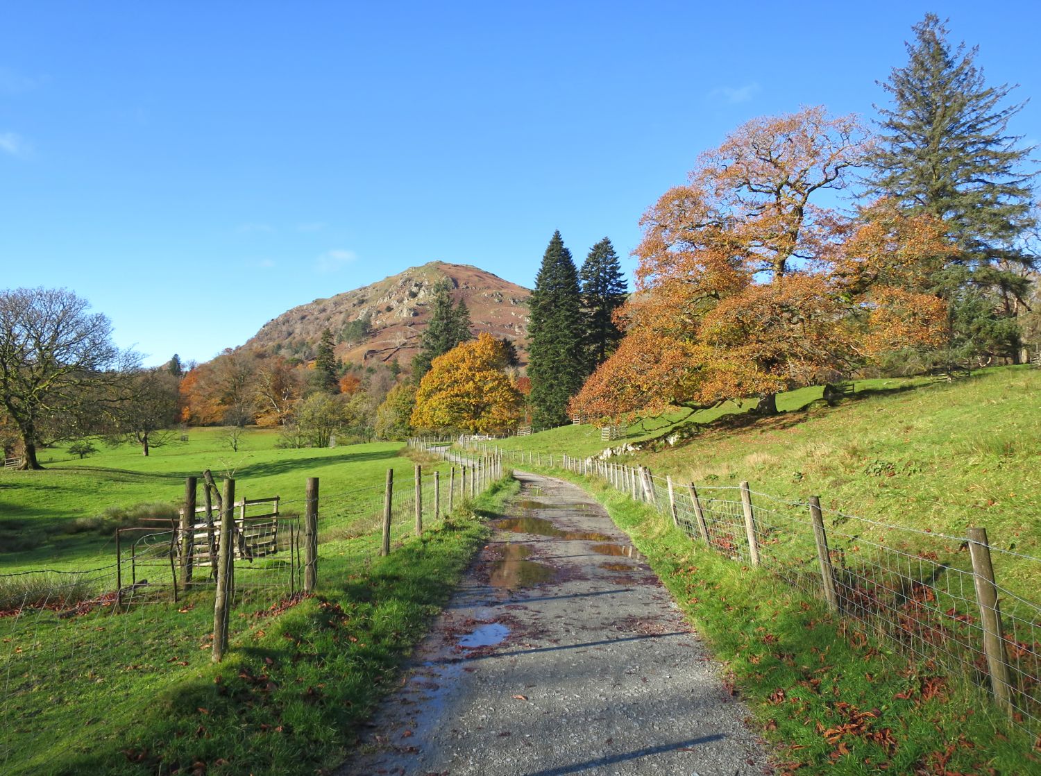
 Approaching the entrance to Rydal Park
 Nab Scar seen from the track through Rydal Park
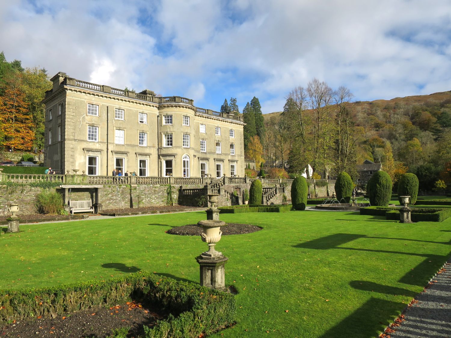
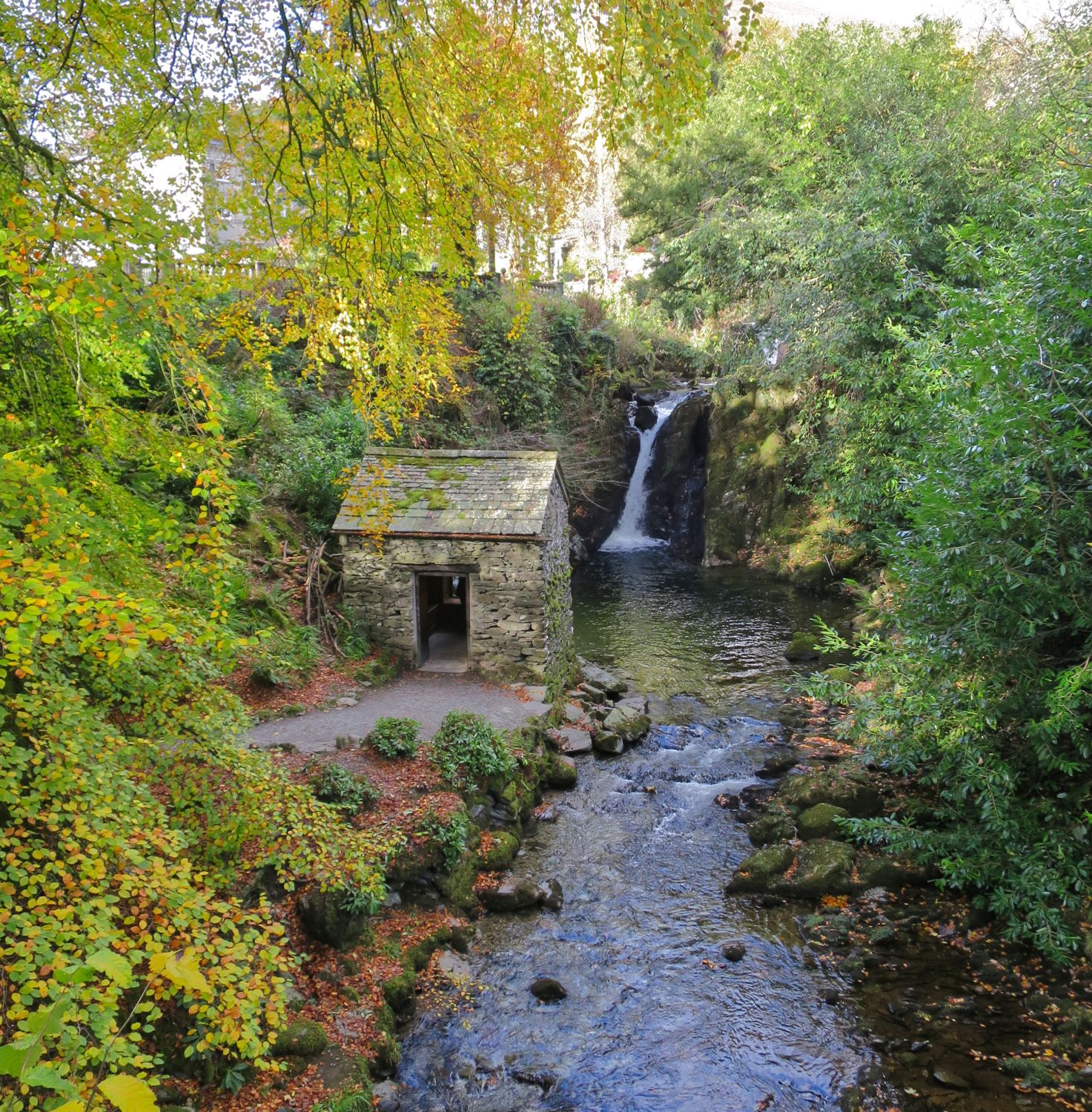
Rydal Hall and the formal garden  The Grot and the waterfall
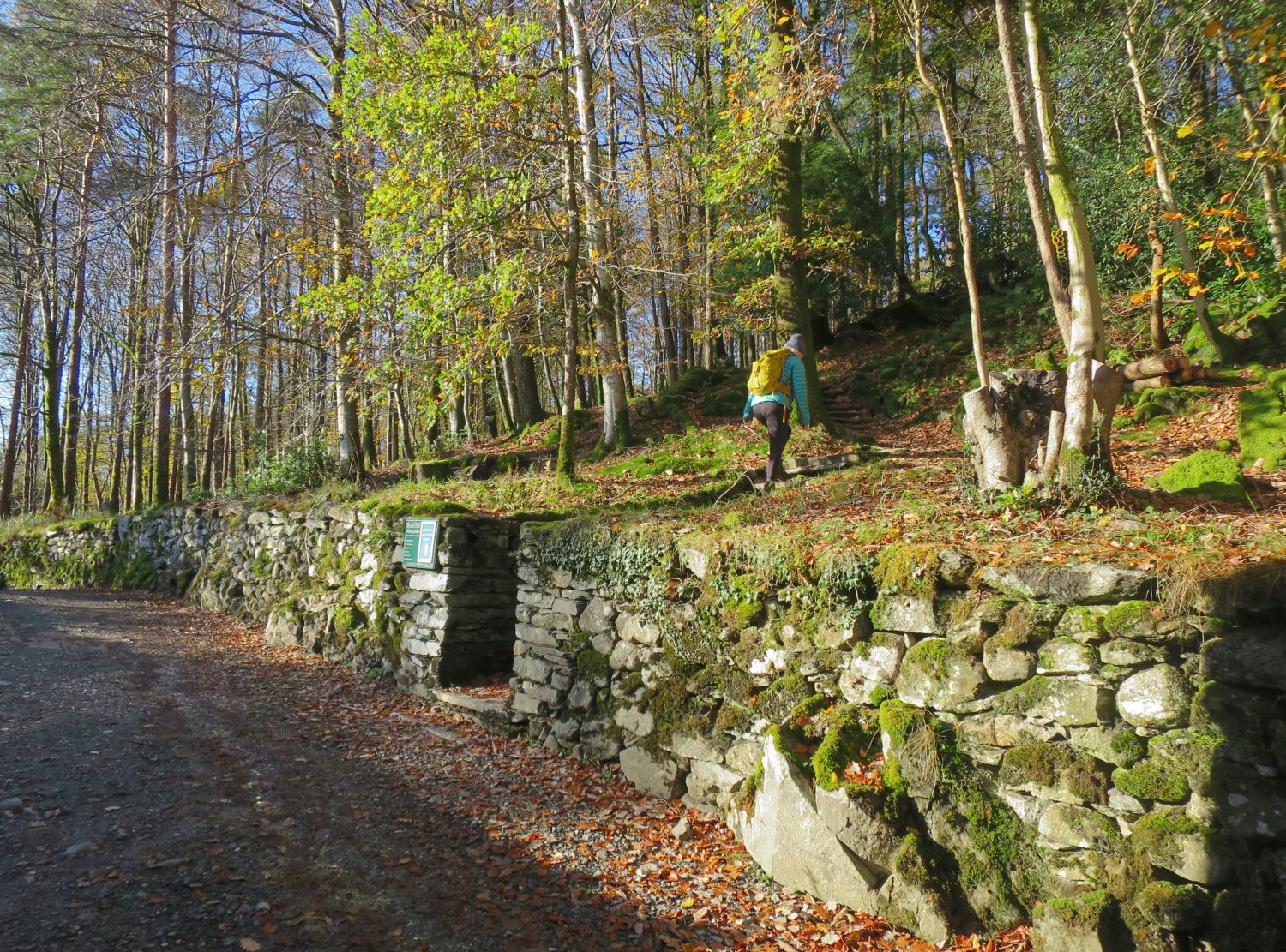
 Following the Woodland Sculpture Path
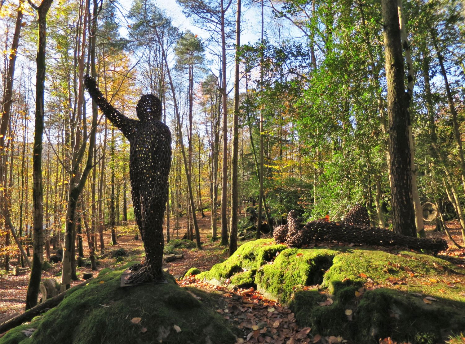
 The Jubilee Figure in Rydal Woodlands
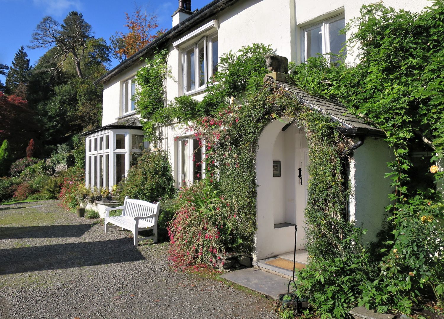
 The historic home of the Wordsworth family, Rydal Mount
 Following the Coffin Route to Grasmere
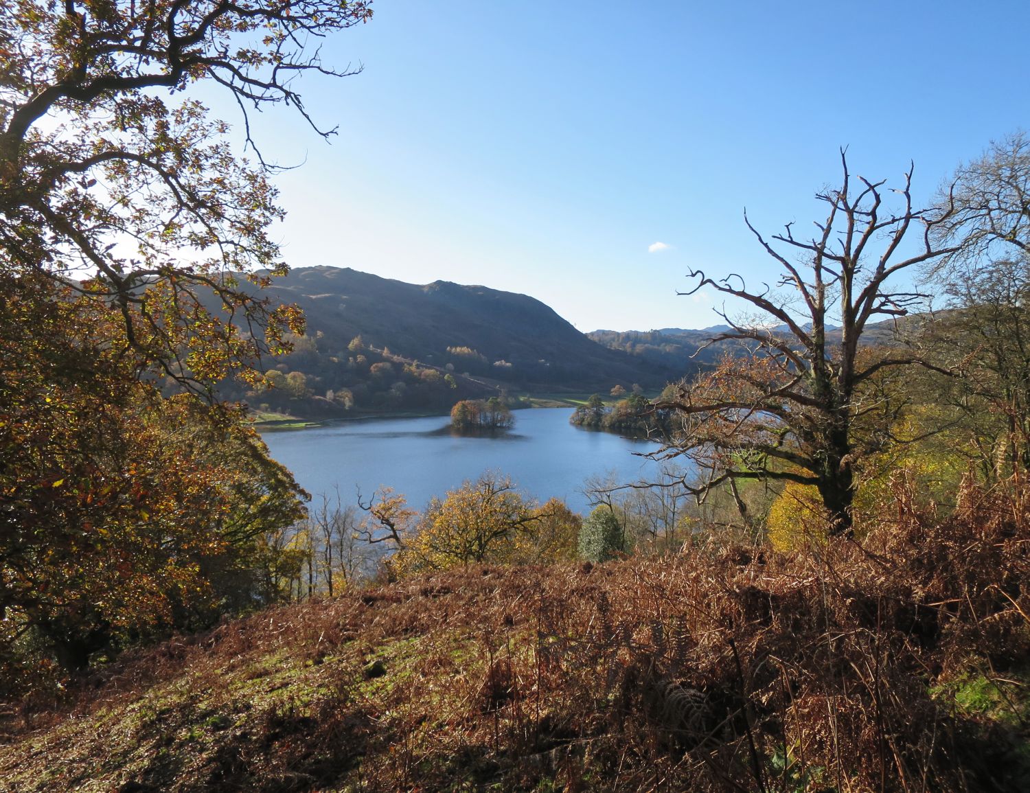
 Rydal Water seen from the Coffin Route
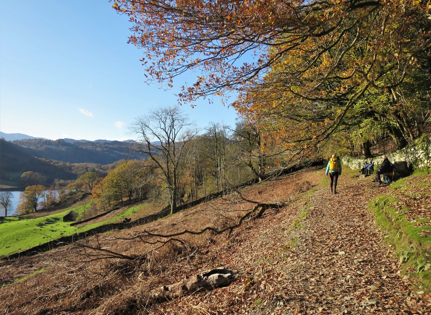
 The Coffin Route below Nab Scar
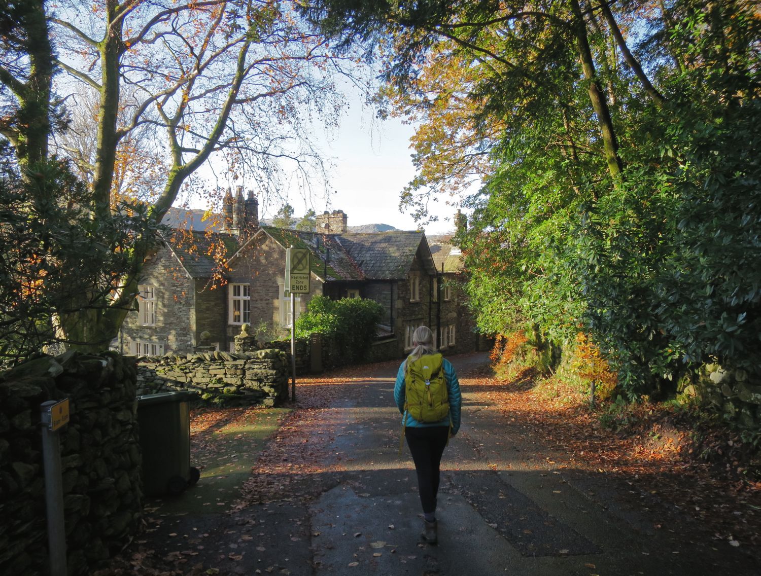
 On the approach to Town End
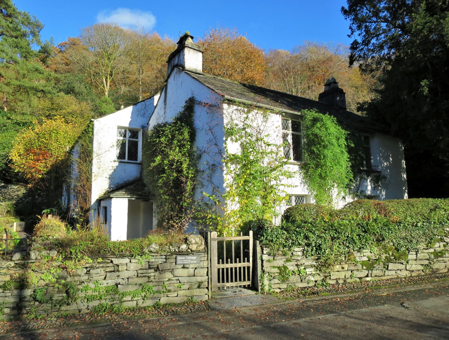
 Dove Cottage at Town End
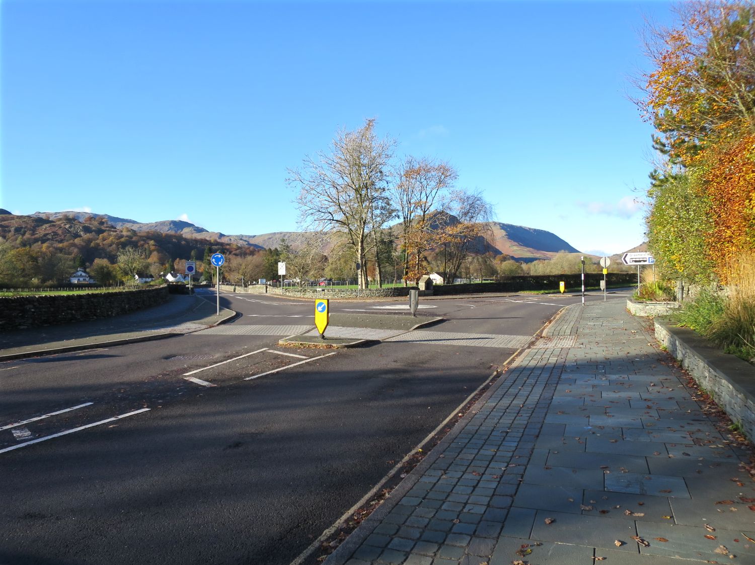
 The crossing of the A591 into Grasmere Village
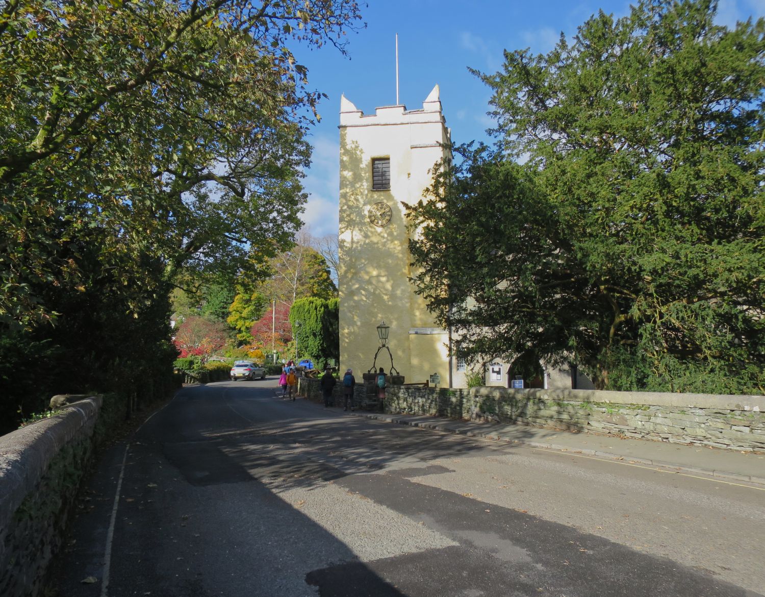
Walking along Stock Lane in Grasmere  St Oswald’s Church, Grasmere
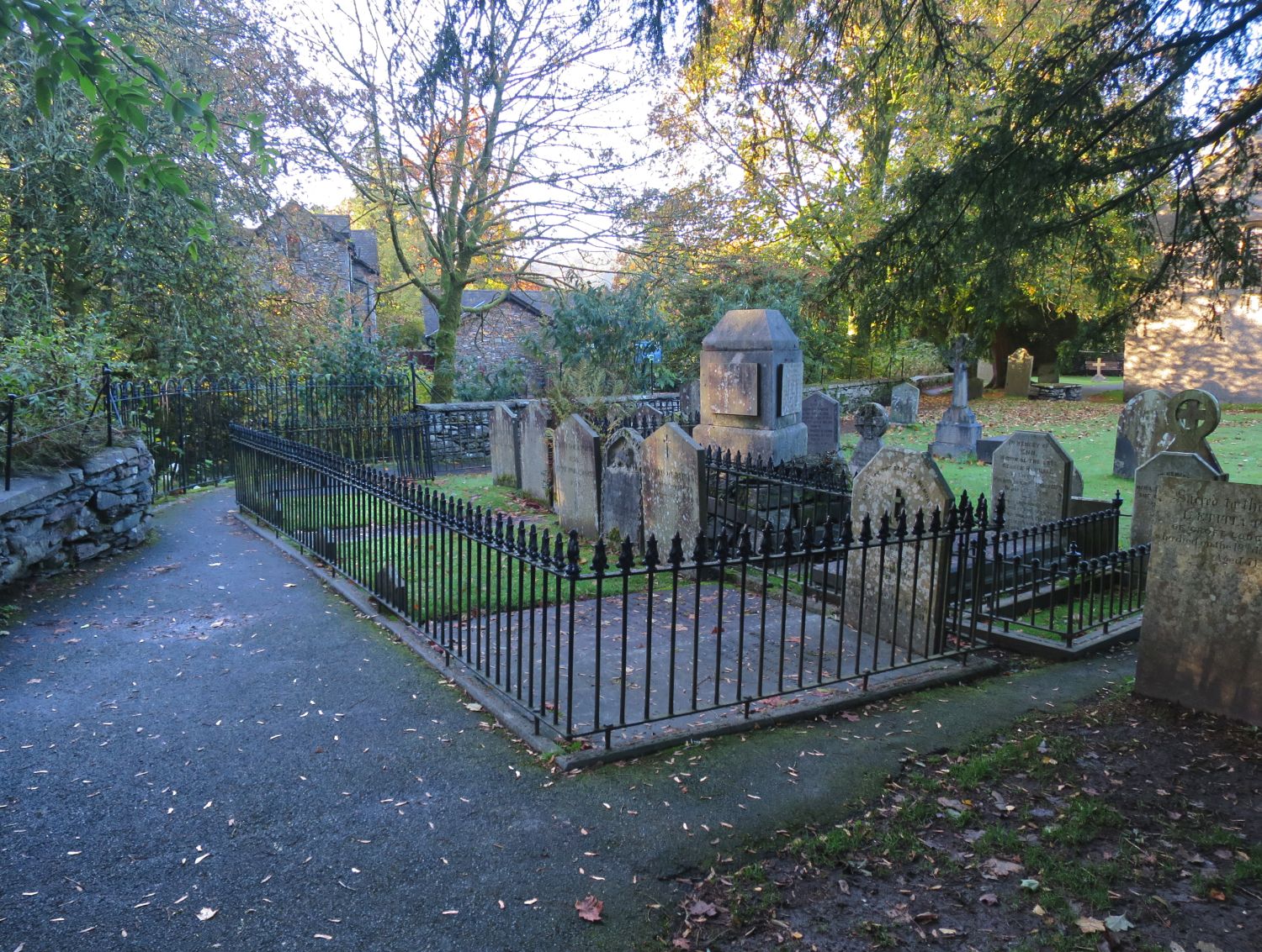
 The Wordsworth family graves at St Oswald’s Churchyard
 The village green from outside the Heaton Cooper Studio
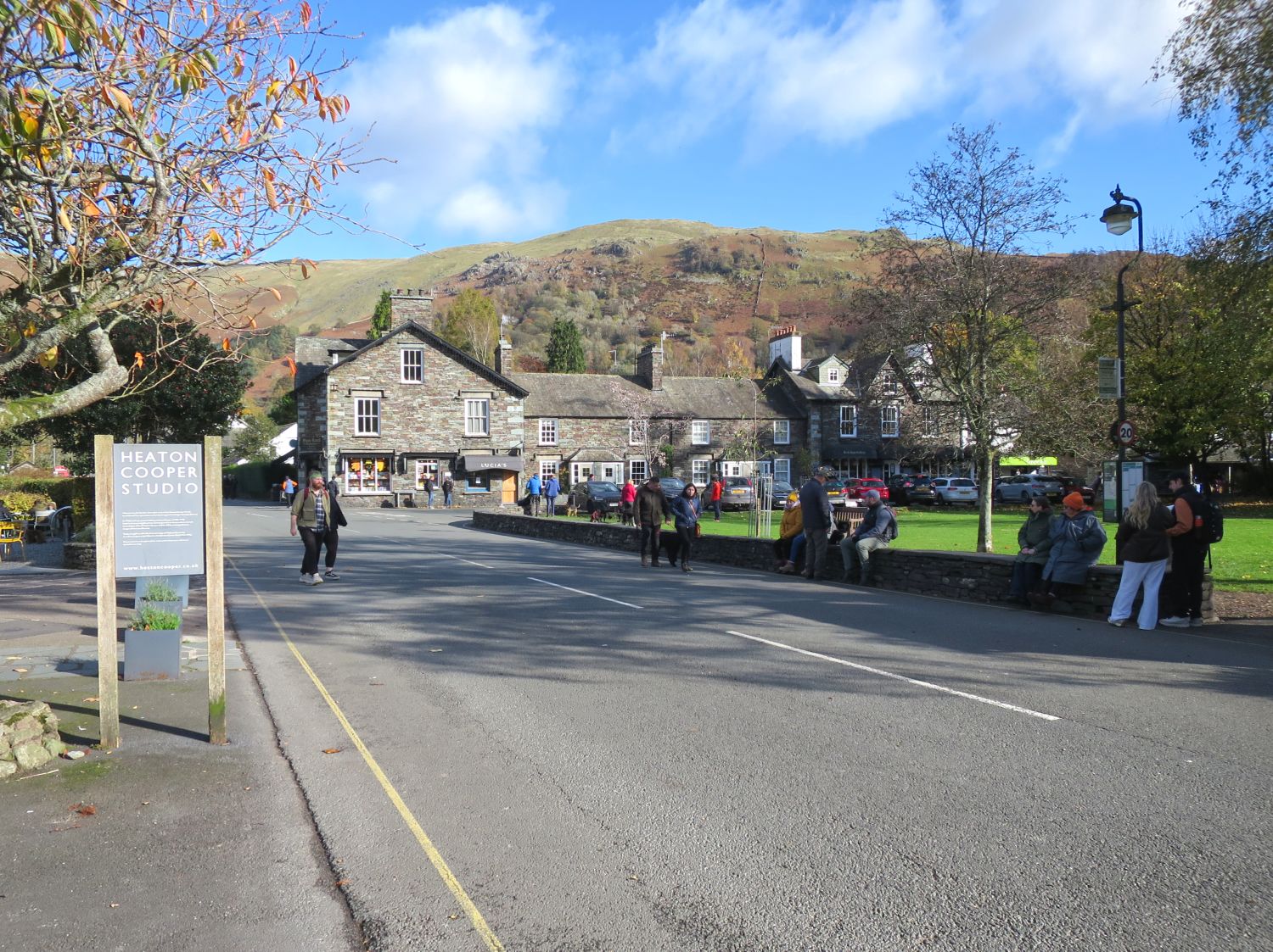